
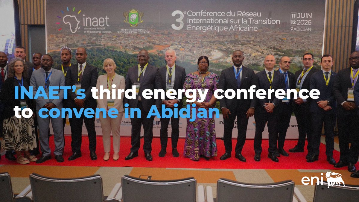


PGS’ First Nigeria MegaSurveyPlus Provides 11 230 sq. km of 3D data
The MegaSurveyPlus concept revitalizes PGS’ Nigeria MultiClient data library by reprocessing 3D data from field tapes. Modern techniques such as optimized denoising algorithms and a full deghosting sequence have improved data bandwidth and signal-to-noise ratio. A multiple attenuation process has also been applied, enhancing image integrity by eliminating complex multiples.
The scale of the MegaSurveyPlus 3D project aims to give an expanded and consistent regional geological perspective. The resulting full-stack PSTM data can be used for regional interpretation, giving a greater understanding of plays and migration pathways across open acreage. Pre-stack PSTM products allow a thorough AVO analysis to be undertaken.

Improved imaging of complex structures related to shale diapirism shown on full-stack PSTM dip line
The Nigeria MegaSurveyPlus covers an area of around 11 230 sq. km over two main structural provinces directly linked to the gravity-driven movement of the Akata Shale Formation. The eastern part of the dataset is in the transitional detachment fold zone and contains subtle faulting along with low wavelength folding of Eocene to Quaternary stratigraphy. The west of the survey, situated in the outer fold and thrust belt, is dominated by closely spaced thrust faults.
The Niger Delta Basin was formed during the Late Cretaceous and contains up to 12 km of Late Cretaceous to Quaternary-aged clastics, deposited in an upward-coarsening regressive deltaic sequence. The main source rocks are Akata Formation marine shales and Lower Agbada Formation paralic shales.
Proven reservoirs in the basin are found in unconsolidated sandstones of the Agbada Formation deposited as stacked turbidite channel and fan complexes (Tuttle et al., 1999). The largest accumulations are trapped in roll-over anticlines in the hanging walls of growth faults, but hydrocarbons may also be found in fault closures and subtle stratigraphic traps.
“Reprocessing has enhanced imaging of targets with improved illumination of complex structures associated with the diapiric movement of the Akata Shale Formation,” says Avril Burrell.

Schematic cross-section of the Niger Delta showing large-scale structural provinces and typical structural styles observed in the MegaSurveyPlus area