


NAMIBIA: ReconAfrica to Undertake eFTG Survey Over the Kavango Basin
The eFTG survey will be carried out using a Twin engine survey aircraft which has been specially fitted with the eFTG instrumentation. This instrument is a state-of-the-art 4th generation gravity gradiometer designed and manufactured by Lockheed Martin, an American aerospace company, and represents a significant enhancement in sensitivity and resolution compared to its nearest rival.
In addition, the aircraft will collect complimentary data including magnetic, topographic (LiDAR), and video data. Survey lines will be flown every 600m in a north-west/south-east direction, and tie lines will be spaced every 3km in a north-east/south-west direction. This airborne exploration approach has a low environmental footprint with minimal impact on the local communities.
Shiraz Dhanani, ReconAfrica’s chief geophysicist stated; “eFTG is a relatively new
technology and preliminary modelling of the area together with its recent successes in East and West African rift basins, gives us high confidence that the eFTG technology will help delineate the Kavango Basin and its associated hydrocarbon prospects.”
Operational Update
On June 28, 2022, ReconAfrica engaged a leading airborne geophysical survey provider to conduct an eFTG survey over an area of nearly 2,200 square kilometers (540,000 acres) in ReconAfrica’s 25,000 square kilometers (6.3 million acres) PEL073 exploration license in north-eastern Namibia. The eFTG is the advanced high resolution airborne gravity survey which specifically allows earth scientists to identify changes in sub-surface rock density with the goal of highlighting stratigraphic or structurally controlled hydrocarbon traps. More specifically, this relatively new technology is a sophisticated application of gravity techniques that not only adds three-dimensional detail to subsurface gravity images but is also capable of differentiating the geometry at different litho-stratigraphic levels (layers of rock) below the Earth’s surface.
After recently making significant progress in scheduling and permitting of acquisition of this data, the Company is advised that it will be completed by late-January 2023.
When calibrated by existing 2D seismic data, the eFTG imaging greatly enhances
ReconAfrica’s capacity to extrapolate structural geometry in three dimensions. As a result of the excellent performance of our geophysical acquisition team and lead contractor, Polaris Natural Resource Development, we are ahead of schedule on the Phase 2 extension 2D seismic program and are currently acquiring several additional important seismic lines, of which 2 have already been acquired over the Wisdom Farm 5-1 prospect, with results due in the latter part of January 2023.
Given the potentially significant near-term impact that the above geophysical data can
provide on risk mitigation and well path optimization for the upcoming Wisdom Farm 5-1
test well, the Company will delay the target commencement date for drilling of this well until late February 2023. The Wisdom Farm prospect area has multiple target horizons over an extensive area in the rift graben (valley) where faulting provides for numerous potential traps, potentially requiring several wellbores for full evaluation. With the goal of maximizing the chance of success for this initial well, the Company believes it is prudent to use all available and expected data, including the aforementioned 2D seismic and eFTG, in setting the trajectory of this first wellbore.
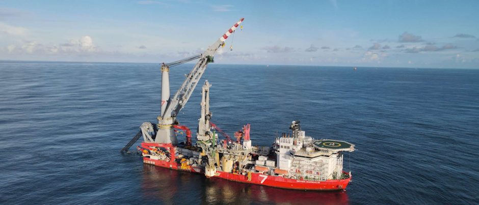
The drilling rig (Jarvie-1) is currently on the 5-1 location with all drilling permits in place